
Jo McDonald, Wendy Reynen, Zane Blunt, Kane Ditchfield, Joe Dortch, Matthias Leopold, Carly Monks, Alistair Paterson, Peter Veth
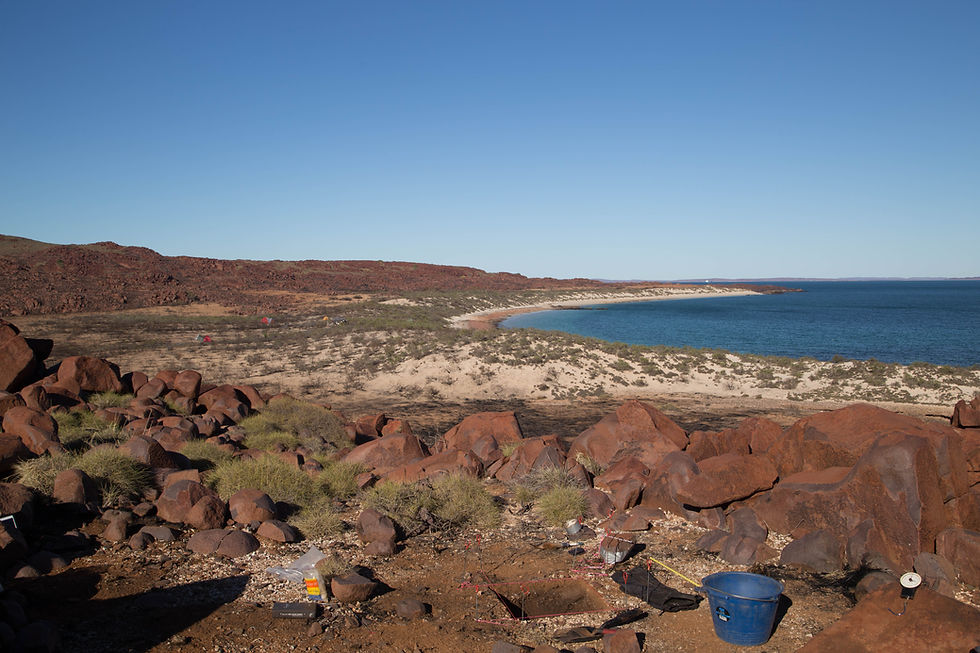
Five excavations on Enderby Island included a deep sand body first occupied 15,760 years ago, mangrove-focussed midden between 10-8kya, changing occupation patterns when the island formed, and a reported whaler’s grave on the north coast.
First occupation here c.16,000 years ago, was before the rising sea reached this landscape. Early Holocene mangrove-focussed habitation changed after this place became an island, but occupation continued until after European contact. We found evidence for sustainable shellfish harvesting and plant processing, bead manufacture, and spinifex fibrecraft to create fishing equipment.

The sand body (998997) was first occupied 15,760 cal years BP, when a quartz artefact was used to process plants. Mangrove shellfish were consumed here between 12,410–9,700 cal. BP, and occupation continued during and after islandisation.
The Fig Tree area was first occupied c. 12,580 years ago when the coast was still some distance away. More than 6 tonnes of Terebralia were sustainably harvested and consumed here c. 8,270 - 7,770 years ago, and plants were processed throughout this site’s occupation.
A stone structure high above the sea (see photo above) had an enormous number of stone artefacts but no dateable material. It may have been used before coastal proximity (there are no shelffish here) and there is desert varnish on several artefacts.
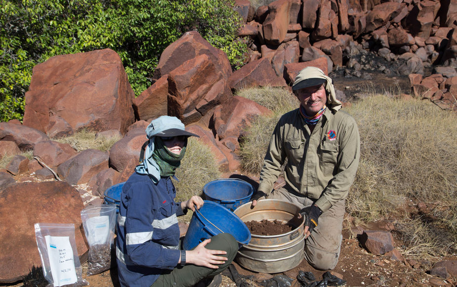
Occupation in the centre of the island (see photo right) shows intensive use from 9,800 years ago, up until a hearth dated to the time of Phillip Parker King’s visit. We found evidence of dentalium bead manufacture and the harvesting of very small fish using baskets.
A stone structure on the northern rocky coast was reported to be a whaler’s grave. We found no human remains, but evidence of general habitation. This small village - and another found on the south coast - requires further investigation.

Click on each photo to learn more
All photographs within this monograph were taken by CRAR+M researchers, partners and students, and have been given cultural approval for publication by Murujuga Aboriginal Corporation. Future use of imagery would require additional permissions from Murujuga Aboriginal Corporation and CRAR+M.
© 2022. This work is licensed under a


